Macroseismic intensity is a useful measure for earthquake effects, which is used in various studies covering a wide range of seismological applications (seismic hazard assessment, attenuation relationships, calculation of magnitude and seismic energy released, focal parameters estimation etc.). Macroseismic data are the only information describing seismic damage effects of the historical earthquakes for which no instrumental data exist.
Institute of Geodynamics, National Observatory of Athens (NOAIG) has collected macroseismic observations since 1886 following generally the same procedure. The procedure consists of the following steps: after a moderate or strong earthquake printed questionnaires are directed to local authorities of selected towns and villages looked up with respect to their spatial distribution and the density of population. The completed questionnaires are then graded with respect to the Modified Mercalli (MM) intensity scale and the assessed macroseismic intensities are published in the GINOA monthly bulletins. For some earthquakes the isoseismal maps drawn by an expert’s hand are included in the bulletins.
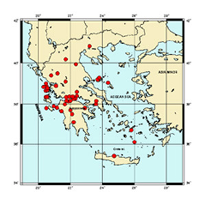
In the last years NOAIG develops the macroseismic database aiming to two targets: the semiautomatization of the macroseismic observations collection and the manipulation of information connected to the macroseismic intensities. Within this frame an Atlas was published including a set of macroseismic observations from hellenic earthquakes from various areas and having different magnitudes and number of observations in the period 1956-2003.